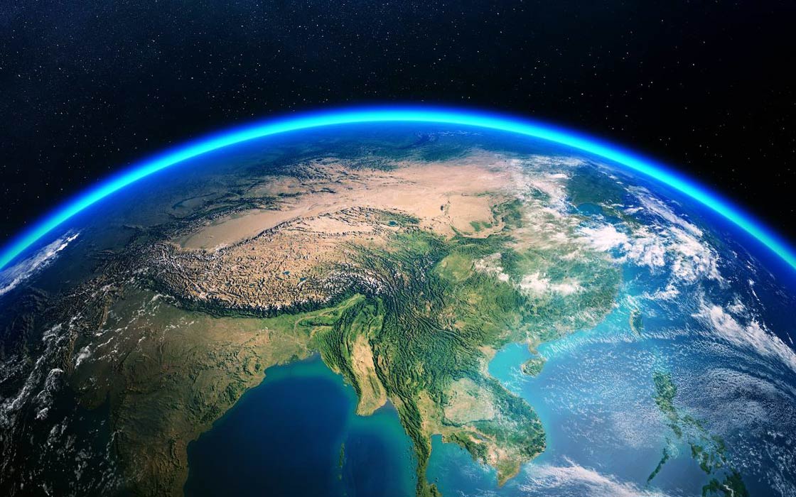
Tracking animal migration from space
Every year, countless species take to the skies, trek across deserts, or dive through oceans on epic journeys that have shaped life on Earth for millennia. These migrations, once tracked by footprints and field notes, are now being revealed with breathtaking clarity from above. With the latest satellite imagery and mapping technologies, we are witnessing animal movement like never before, unlocking new insights into the rhythm of the natural world.
How Satellite Imagery Revolutionizes Wildlife Tracking
For decades, researchers have relied on tagging, GPS collars, and boots-on-the-ground observation to follow the paths of migrating animals. These approaches have offered important insights, but they often come with limitations: restricted range, high costs, and challenges in scaling across large or remote regions. This is where satellite technology steps in to expand what’s possible.
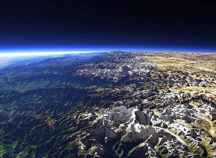
With the latest satellite images and maps, we can now observe migration patterns across continents, spot changes in habitats from space, and revisit years of archived data to uncover long-term trends. It’s a shift from scattered glimpses to a continuous, global view – reshaping how we track and protect life in motion.
Applications in Tracking Migration Patterns
From skies to seas to sprawling savannas, the applications of satellite imagery in tracking migration are as diverse as the species themselves. These technologies aren’t just about seeing where animals go but about helping to decode the environmental cues that drive those epic journeys.
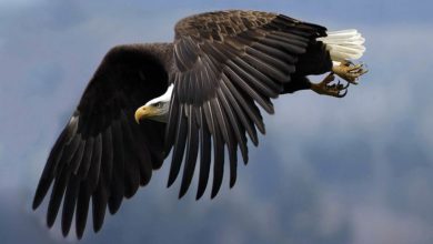
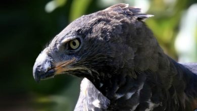
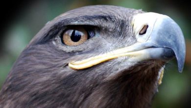
Take migratory birds, for example. Their routes are shaped by the availability of food, especially during long-distance flights. Satellites can monitor vegetation changes across vast regions using tools like the Normalized Difference Vegetation Index (NDVI), which highlights where plants are thriving. These green hotspots often match up with stopover points – places birds rely on to rest and refuel. When NDVI is combined with weather data, like temperature and snow cover, it becomes easier to understand when birds are likely to move and where they might head next.
In the oceans
In the oceans, satellite data opens a window into a world that’s nearly impossible to monitor from the surface. Migratory species like whales, sea turtles, and fish often follow warm-water currents or clusters of plankton blooms. By mapping sea surface temperatures and chlorophyll concentrations, satellites can show where food is abundant and where conditions are shifting. These details are crucial for understanding routes that span thousands of kilometers and cross international waters.
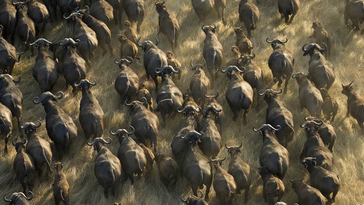
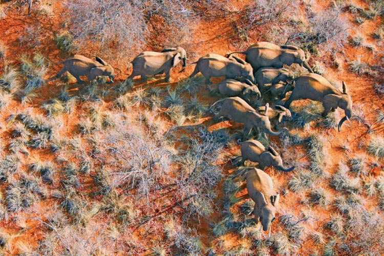
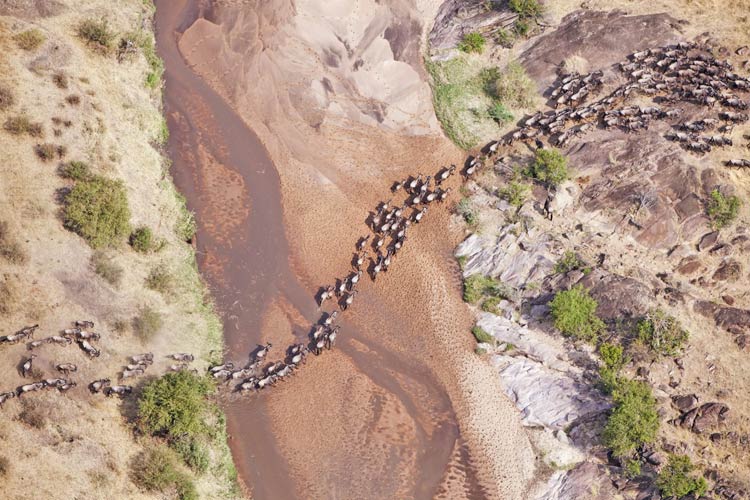
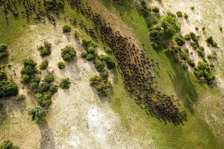
On land
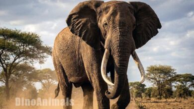
The story continues on land, where animals like elephants and wildebeests migrate in search of water and grazing land. Using high-resolution satellite images of Earth, scientists can track how vegetation changes with the seasons and how human activities, like farming or road construction, might block or redirect migration paths. Satellite radar systems even allow researchers to monitor water sources hidden beneath clouds or dense tree canopies, offering vital clues for predicting where large herds will move next.
Even in the most remote and extreme environments, satellites are proving invaluable. In the Arctic, for instance, animals like caribou and polar bears rely on snow and ice conditions that shift with the seasons. Satellite instruments that measure snow depth, sea ice extent, and timing of meltwater flows help researchers understand how these animals adapt or struggle as the climate changes.
And it’s not just large animals being tracked. Insects like locusts and butterflies leave faint but meaningful signatures across landscapes. Surges in vegetation after heavy rains, seen clearly from space, can signal the arrival of swarming locusts. Monarch butterfly migrations are influenced by flowering plant cycles, which satellites can track by monitoring surface reflectance and land cover.
Accessing and Analyzing Satellite Images
Watching migration unfold from space has become a standard part of wildlife research, thanks to the growing availability of platforms that offer the latest satellite images and maps. Tools like EOSDA LandViewer and the Copernicus Open Access Hub have made it easier to access and work with high-resolution satellite data, opening up new possibilities for studying how animals interact with their environments over time.
These platforms are more than just image repositories. They function as interactive research environments. Users can apply multiple data layers, such as vegetation indices, land surface temperature, soil moisture, or snow cover, to explore how specific environmental variables shape migratory behavior. This is particularly useful when tracking species that depend on shifting vegetation zones or temperature-sensitive food sources.
Time-lapse features allow researchers to scroll through historical data and detect seasonal or long-term trends. Whether it’s a gradual decline in forest cover or sudden changes in water availability, these shifts can be visualized clearly across time. This temporal context is essential for understanding how migrations are changing, whether due to climate stress, habitat loss, or other pressures.


The analytical tools built into these platforms also support more advanced work. Researchers can calculate distances between seasonal habitats, estimate the extent of available foraging areas, or assess how close migration routes come to human infrastructure like roads or farms. These measurements can inform ecological models, impact assessments, or conservation strategies aimed at preserving migration corridors.
While these tools are widely used in scientific and conservation settings, they’re increasingly being adopted by policymakers and land managers. Having access to reliable satellite data helps ground decisions in evidence, whether it’s the design of protected areas or the timing of habitat restoration efforts.
By connecting remote sensing data with real-world challenges, platforms are helping translate satellite imagery into actionable insights. And with growing access to open data satellite imagery, this kind of research is becoming more inclusive, scalable, and responsive to the complex movements of life on Earth.